
Looking Up Westminster Neighbors Around a Block
A block lookup is a set of layers, not a single neighbor directory. Start with the target parcel, click each abutting polygon, and keep the source’s meaning beside the result. The assessor supplies owner and mailing fields. GIS supplies geometry and nearby layers. A voter request can supply selected public fields. An HOA map supplies reported community contacts, not a complete member list. A historical directory may show past households.
| Source | What it shows about a block | Access |
|---|---|---|
| Adams parcel GIS | Parcel, situs, owner, mailing fields, geometry | Free map or query route |
| Jefferson jMap / ASPIN | Adjacent parcels, roads, tax, zoning, planning, nearby development | Free map and service layers |
| County property roll | Owner, mailing address, legal, value, subdivision | Adams or Jefferson portal |
| Voter request | Public name, address, party, birth-year and voting fields | County or Colorado SOS rules |
| Westminster HOA map | Reported association boundaries and contact details | Public map; explicitly incomplete |
| Historical directory | Past address and household clues where held | Library or archive inquiry |
Owners are not the same as all people at an address. A block result should say “owner record,” “mailing record,” “public voter field,” or “association lead,” not simply “neighbor found.”
Westminster Neighbors Target Parcel
Begin with the street number, unit, city, ZIP, and county clue. Sheridan Boulevard routes west-side parcels to Jefferson and east-side parcels to Adams, but edge parcels still need a map check. Search the property roll, save the parcel or AIN/PIN, and open the map before deciding which polygons touch the target.
The Adams maps and public-records capture below is linked to the county’s official routing page. It points to assessor, GIS, permits, tax, court-adjacent, jail, warrant, and voter resources for the east side.
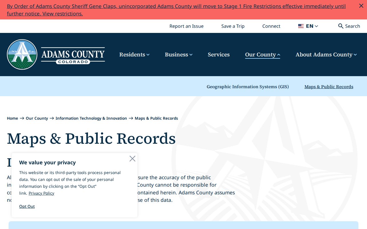
Use the map as a routing aid. Save the parcel ID, legal lot or subdivision, city-limit status, county, and layer date before walking outward.
Westminster Neighbors and Abutting Parcels
Adjacency is a geometry question. Click each parcel that touches the target, then record its parcel ID, situs, legal lot or subdivision, owner and mailing fields, county, and any right-of-way, shared drive, or easement clue. Do not infer a next-door relationship from a similar mailing address.
- Locate the target address in Adams Basic or Advanced Maps, Jefferson jMap, or the ASPIN service.
- Select the target parcel and identify the polygons on each side.
- Save the north, south, east, and west parcel IDs, even when an owner field is not visible.
- Compare the adjoining parcel records with the property roll and legal description.
- Add permit, voter, HOA, or directory clues only after the geometry is stable.
The process separates a true adjacent parcel from a nearby address across a road, right-of-way, county line, or subdivision edge.
Westminster Neighbors Map Layers
Jefferson jMap can accept street address number, parcel ID, street name, and reception number. Its layers include zoning, comprehensive plan, recent permits, tax, and nearby development. Jefferson ASPIN exposes parcel IDs, road names, right-of-way, cities, county boundary, surrounding counties, and adjacent-county roads, with query, identify, and export controls.
Adams Basic and Advanced Maps add property information, permits, code cases, land use, and parcel identification. “Eye on Adams” can add permits and code cases for unincorporated areas. An unincorporated layer matters because Westminster municipal rules and records may not apply to every nearby polygon.
Keep the layer name with the result. A tax map, planning layer, ZIP polygon, HOA boundary, and assessor parcel are not interchangeable maps of the same thing.
Westminster Neighbors HOA Boundaries
The Westminster HOA Resource Hub links to a city ArcGIS map with reported HOA boundaries, contacts, and details. The city says the map is not complete and does not enforce private rules or mediate disputes. Treat it as a community lead, not a full neighbor roster.
The ArcGIS portal image below is linked to Westminster’s map portal. A boundary may help identify an association name or contact, but it does not show every member or prove that a parcel is currently active in the association.
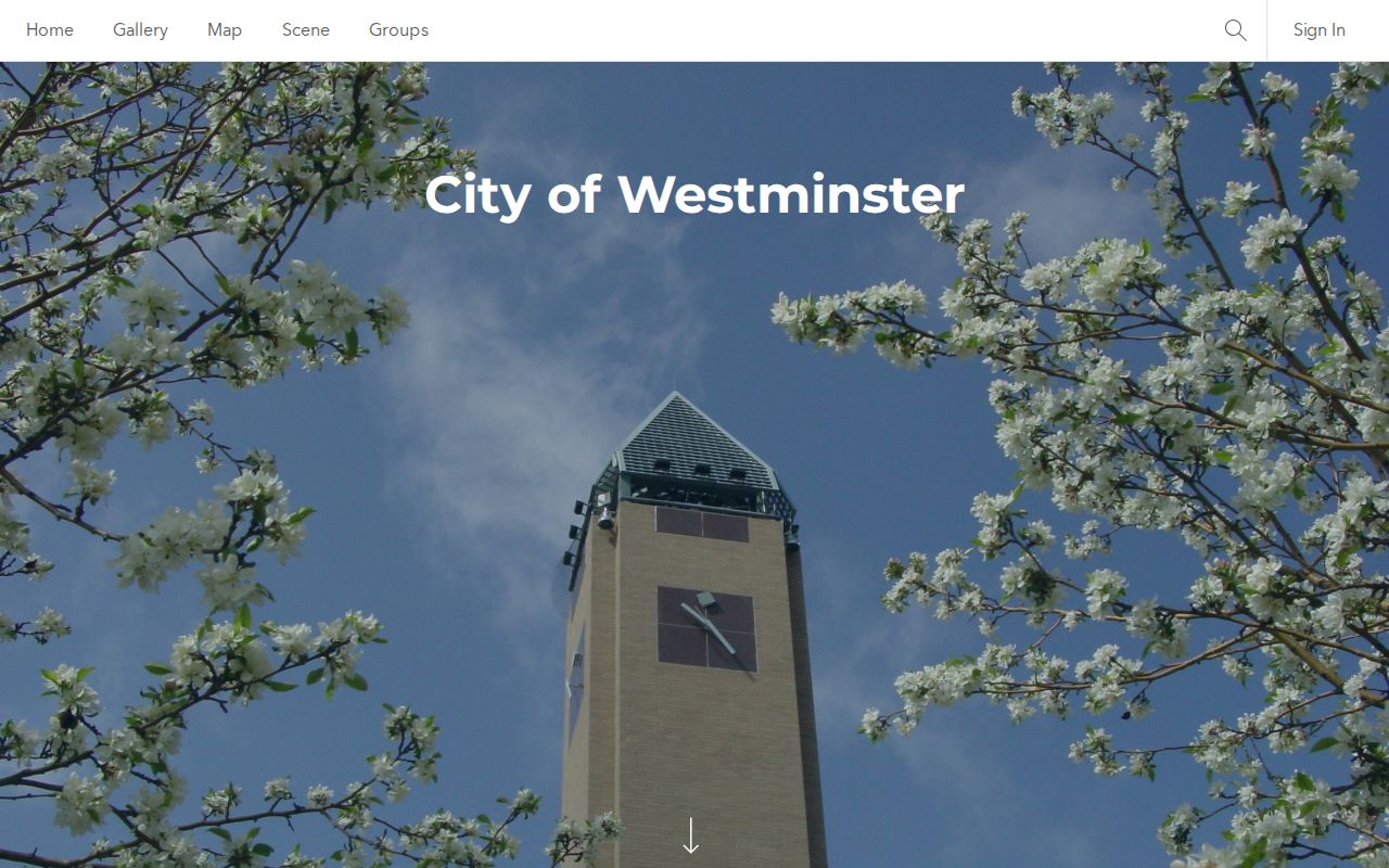
The city HOA liaison is listed as Trevor Harlow at 303-658-2098. Ask an association directly about its public contact or record policy rather than treating a map marker as a household record.
| Westminster HOA Resource Hub | Reported boundary and contact map; incomplete; city does not enforce private rules. |
|---|---|
| HOA liaison | Trevor Harlow, 303-658-2098, for city routing questions. |
| Community history route | Archive Center, Historical Society, newspapers, annuals, schools, churches, and subdivision clues. |
Westminster Neighbors Voter Fields
Colorado may furnish full name, residential address, party affiliation and date, optional phone, optional gender identity, birth year, and prior-election voting status under the public request rules. SSN, driver ID, month and day of birth, signature, and email remain confidential. County confidentiality treatment and the Address Confidentiality Program can shield a resident.
A block search should use voter data only as a lawful public-record layer. It is not a live list of every person at each parcel. A voter may use Go Vote for their own registration, while a third-party request follows county or Secretary of State procedures and dataset terms.
The county and city boundary should be checked before a voter request is sent. A ZIP alone can pull the wrong county or postal city.
Westminster Neighbors Street Grid
Two homes can share a street number while holding different units or parcels. A block record should retain unit and suite, subdivision, lot, block, section, township, range, and map geometry when those fields appear. The legal description resolves ambiguity that a postal label cannot.
A mailing address can leave Westminster. A situs address can remain fixed while the owner mailing address changes. A permit address can describe a project site while the applicant lives elsewhere. Write the record role beside every name.
The full named-street chain belongs on the Westminster street directory page. The neighbor lookup stays focused on the immediate block and community layer.
Westminster Neighbors County and ZIP Routing
Westminster neighbors can sit across a records boundary even when the street feels continuous. West of Sheridan uses Jefferson routes. East uses Adams routes. The city’s ten ZIP codes also overlap other municipalities, so a post office or mailing city cannot replace the parcel test.
For a block near the edge, save the city-limit result, county, postal city, ZIP, parcel IDs, and layer date. Then use the right assessor, recorder, court, elections office, and archive. An adjacent parcel across the county line may need a different custodian.
Westminster Neighbors Permit Layers
Westminster eTRAKiT can show public permit and project tabs by address or parcel/APN. Jefferson jMap adds recent permits and nearby development. Adams maps and Eye on Adams add permit, code, land-use, and special-district layers. These records help explain a new structure, access drive, lot change, or date of activity around the block.
Permit applicants and contractors are record roles, not a complete list of people at the site. Keep the project number, status, date, inspection line, and attached file with the parcel. If the portal does not show an older item, ask the city or county custodian for a specific record.
Westminster Neighbors CORA Requests
A narrow Colorado Open Records Act request can target a permit, code case, inspection, association map source, or dated city record that is not online. Westminster says the first hour of retrieval is free and lists $35 per hour after July 7, 2025, with possible deposits for significant work. A specific address, parcel, record type, and date range helps the custodian estimate.
County records may need their own request, counter, phone, mail, or copy route. Ask whether a record is retained, inspectable, redacted, or held by another office. Do not request “everything about the block” when a permit number or parcel field can narrow the task.
Use online maps and property portals first, then call or visit county GIS, assessor, or recorder counters for parcel help. Certified copies can follow a counter or mail request; an HOA liaison and library or archive route may add community history; CORA is the targeted fallback for missing city records.
Westminster Neighbors Official and Commercial Records
Official rolls have a custodian, a defined field set, and a stated access rule. Commercial neighbor-search tools may combine old addresses, public filings, and unverified matches. They can be costly, stale, or difficult to correct. A map, assessor record, deed, voter field, or association contact should be read at its original source.
| Layer | Strength | Limit |
|---|---|---|
| County parcel and deed | Custodian and legal land key | Owner or party is not every occupant |
| GIS adjacency | Shows geometry and nearby parcels | Map layer dates and fields vary |
| Voter request | Defined public civic fields | Confidentiality and date limits apply |
| Community map | Association boundary or contact lead | Reported and incomplete |
| Commercial category | May gather multiple public clues | Accuracy, cost, correction, and lawful-use limits |
Privacy Limits on a Westminster Neighbor Lookup
Non-owner household members, utility customers, delivery records, protected voters, and confidential vital subjects are not an open block roster. DMV data has a separate federal and state privacy boundary. A public docket, jail result, warrant entry, or registry row has a narrow purpose and may be incomplete.
Use a neighbor lookup for getting to know a block, family or community history, civic curiosity, and personal safety awareness. Verify with the custodian and stop when a protected address or record appears.
Lawful use. Westminster neighbor records must not be used to stalk, harass, threaten, monitor, or intimidate anyone. A parcel map can show land around an address without giving permission to track a person.