
Finding People Along Westminster Streets
The street directory works best as a chain of address keys. A street name alone is too broad. Add the number, directional, type, unit, city, and ZIP, then check the parcel and county before reading an owner or deed result. The official records show different relationships to the address. The assessor shows a property record and recorded owner. The recorder shows parties to instruments. A voter request may show public residential fields. A directory or newspaper can place a person at a point in time.
For a reproducible pass, save the address as supplied, the normalized search form, the county, the parcel ID, and the date of each result. Do not collapse owner, mailing address, situs, and occupant into one “resident” field.
- Normalize the address and retain the original spelling, directional, unit, or suite.
- Place the parcel on the Westminster boundary map and choose Adams or Jefferson.
- Run the matching assessor or property search and save parcel, legal, owner, and mailing fields.
- Use the parcel owner or legal description to search the county recorder’s deed index.
- Add permits, public voter fields, newspapers, or historical directories only as dated context.
The result is an address record trail, not a claim that every person associated with a street is currently there.
Normalize a Westminster Street Address
Adams County’s GIS guidance asks researchers to use an initial for a directional, omit punctuation, and enter a form such as “4201 E 72nd Ave” rather than spelling out the direction and street type. Jefferson’s address route separates number, pre-directional, street name, street type, unit, city, and postal code. Preserve the supplied form beside the normalized form because an older directory or newspaper may use a different street style.
A unit is not decoration. One street number can hold several condominium parcels, a parent parcel, or more than one improvement. A missed unit can produce a false match or hide the parcel that matters. If a portal returns several rows, use the parcel or AIN/PIN as the next key.
- Situs
- The physical address assigned to the land or improvement.
- Mailing address
- The address used for owner or tax correspondence, which may be outside the situs city or ZIP.
- Plat
- A recorded map that lays out lots, blocks, streets, easements, or subdivisions.
- Criss-cross directory
- A directory arranged by address or street as well as by name, useful for a historical time slice.
Choosing Westminster’s Street County
Sheridan Boulevard is the first county clue. Westminster’s election guidance places west-side addresses in Jefferson County and east-side addresses in Adams County. The rule is useful, but an edge parcel or pocket still deserves a map check. A ZIP or postal station does not decide the recorder branch.
For Adams, start with the county property search, parcel GIS, and Landmark Web. For Jefferson, use the property records dashboard, jMap, ASPIN, and the recorder’s land-record host. Jefferson’s exact recorder fields were not exposed in a direct no-session fetch because the search needs session cookies. That is an access gap, not a reason to invent a static form.
Record the city-limit result, county, postal city, and ZIP as separate facts. The distinction matters when a Westminster mailing address is served by a station in Broomfield, Arvada, Denver, or Northglenn.
Westminster Street Assessor Fields
The assessor is the best first bridge from a street to land. Adams Property Search offers parcel number, account number, owner, address, and county permit number. Its parcel REST layer exposes parcel number, parcel address, owner, owner mailing address, and city, state, and ZIP fields. Jefferson separates owner, address, PIN/Schedule, AIN/Parcel ID, document, sales, subdivision, neighborhood, tax district, tax authority, and index-book modes.
The field layout itself helps resolve a common name. An Adams owner search can be compared with the situs and legal description. A Jefferson address hit can be reduced with AIN or PIN. Property detail may show sales, history, values, subdivision, lot, tract, section, township, range, and map links. Those fields connect street language to land language.
| Adams address route | Address, parcel, account, owner, or county permit number; directionals use the county format. |
|---|---|
| Jefferson address route | Number, pre-directional, street name, street type, unit, city, and postal code. |
| Stable handoff | Parcel number, AIN, PIN/Schedule, legal description, or map geometry. |
| Owner fields | Owner name and mailing address; do not read them as a complete occupant record. |
| Result controls | Jefferson result pages can use a 50-row setting and export controls; dynamic options vary by route. |
The Adams GIS image below is linked to the county’s interactive maps guidance. It shows the sort of parcel and layer context that makes a street pass more reliable than a name-only search.
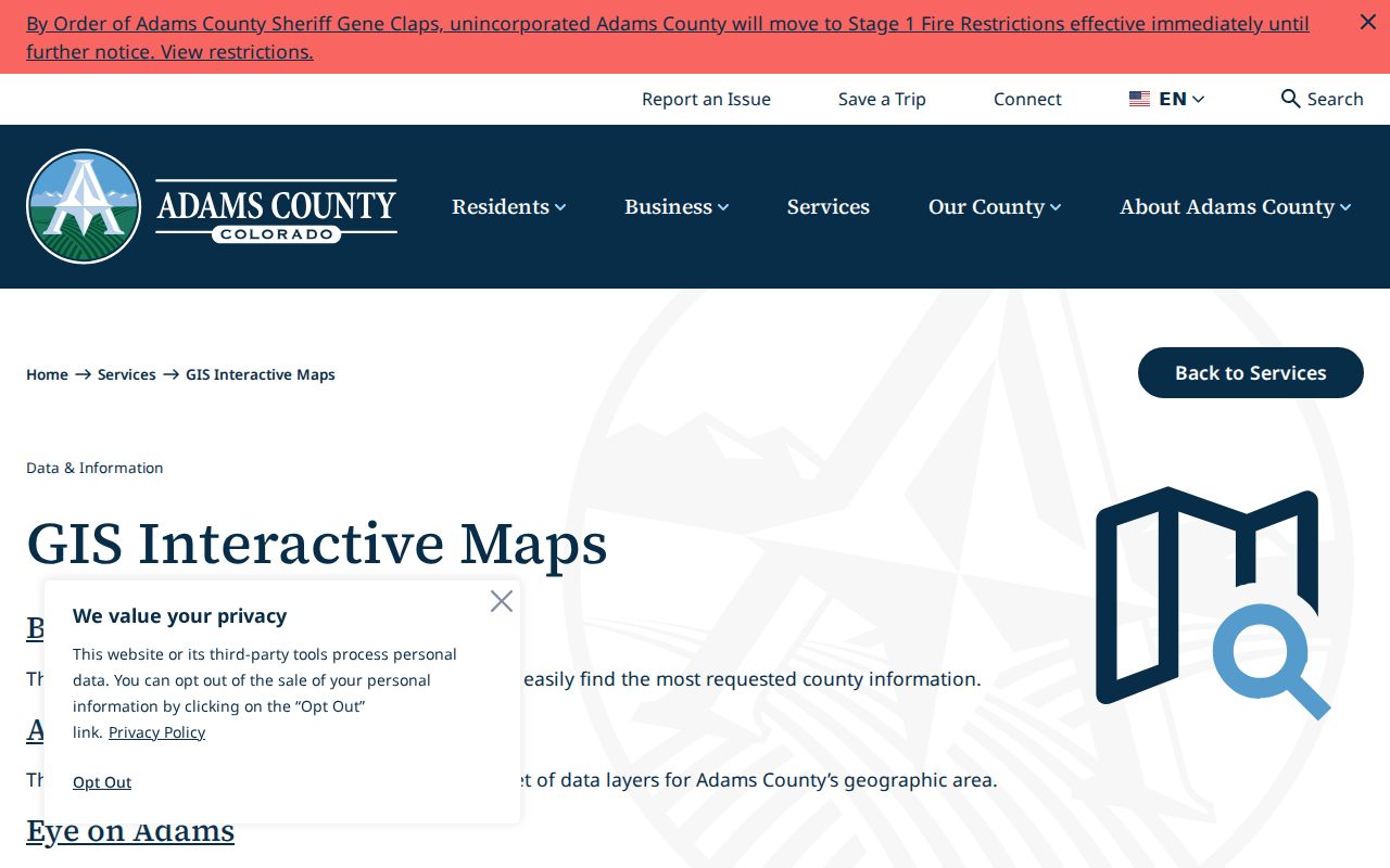
Turn on property information, locate by owner or address, select the parcel, and identify it before moving to the recorder.
Westminster Deed Chain by Address
Recorded documents use names, not a street-wide roster. In Adams Landmark Web, search the current owner as both grantor and grantee, then narrow to deed, warranty deed, special warranty deed, quit claim deed, deed of trust, release, easement, map, lien, or related categories. A grantor transfers or gives an interest. A grantee receives an interest. The party role matters when walking backward.
Match the result to the assessor’s legal description and parcel. Save the recording date, document type, reception number, grantor, grantee, and legal text. Electronic rows can show zero book and page values while the reception number remains useful. A reception number is the durable handoff for a later detail or copy request.
The Adams Landmark Web portal image below shows the search surface and access notice. Uncertified online downloads are free according to the county instructions; certified copies and search reports follow the recorder’s current fee route.
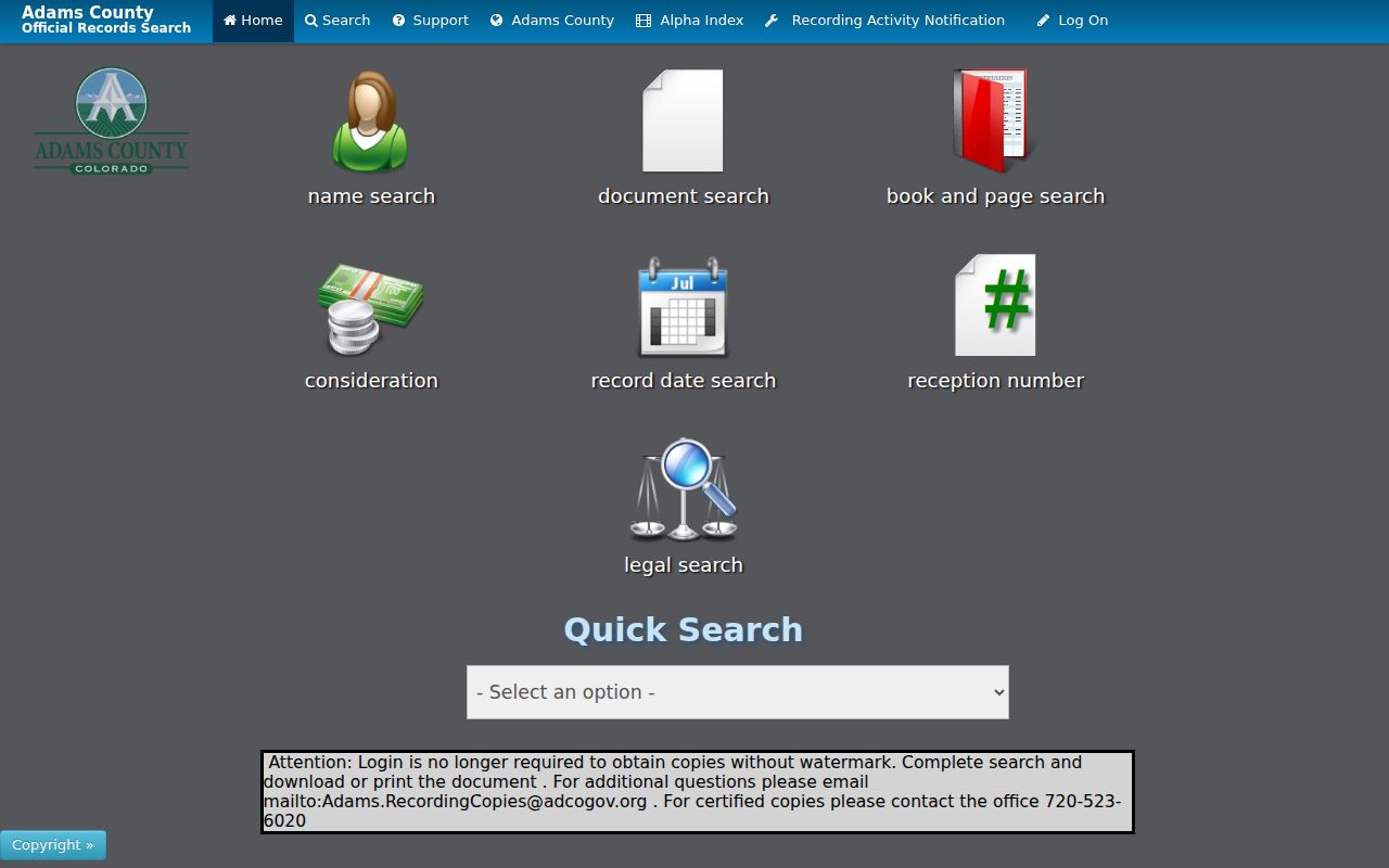
Read the full instrument when the legal question matters. A recording office indexes and stores an instrument; it does not guarantee that the document is valid or authentic.
Westminster Street GIS Parcel Pass
GIS adds the street and block view that a property row lacks. Adams Basic and Advanced Maps can expose property information, permits, code cases, and land-use layers. Jefferson jMap and the ASPIN service can show parcels, roads, right-of-way, county boundaries, tax, zoning, planning, recent permits, and nearby development. Select the target parcel, then identify adjoining polygons rather than guessing from mailing addresses.
The Jefferson address capture below is tied to the county property-record address route. Its structured number, directional, street, unit, city, and ZIP controls show why an address is a set of fields, not one free-text label.
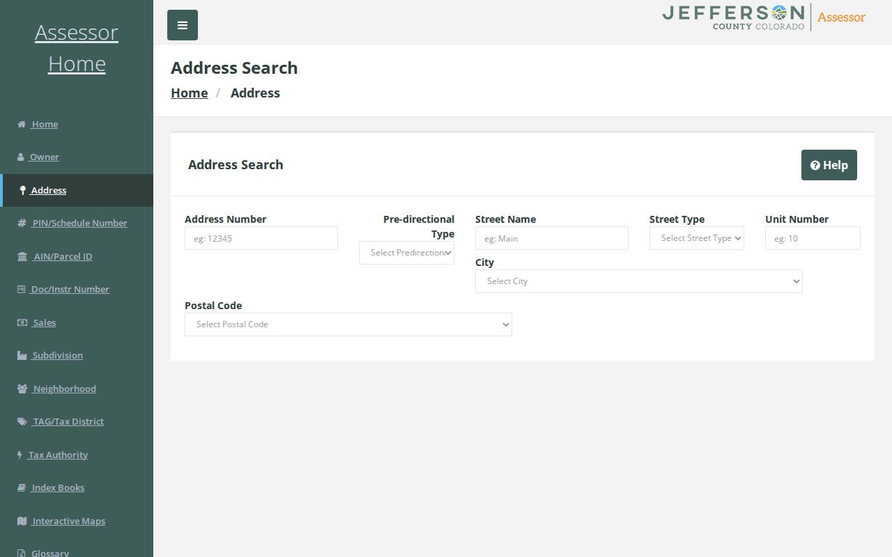
Use the parcel ID from the result to open property detail and then compare the map, owner, mailing address, and legal fields.
For a west-side pass, the Jefferson ASPIN map service supports query, identify, export, and adjacent-county layers. The map is a context tool. It does not change a parcel into a household list.
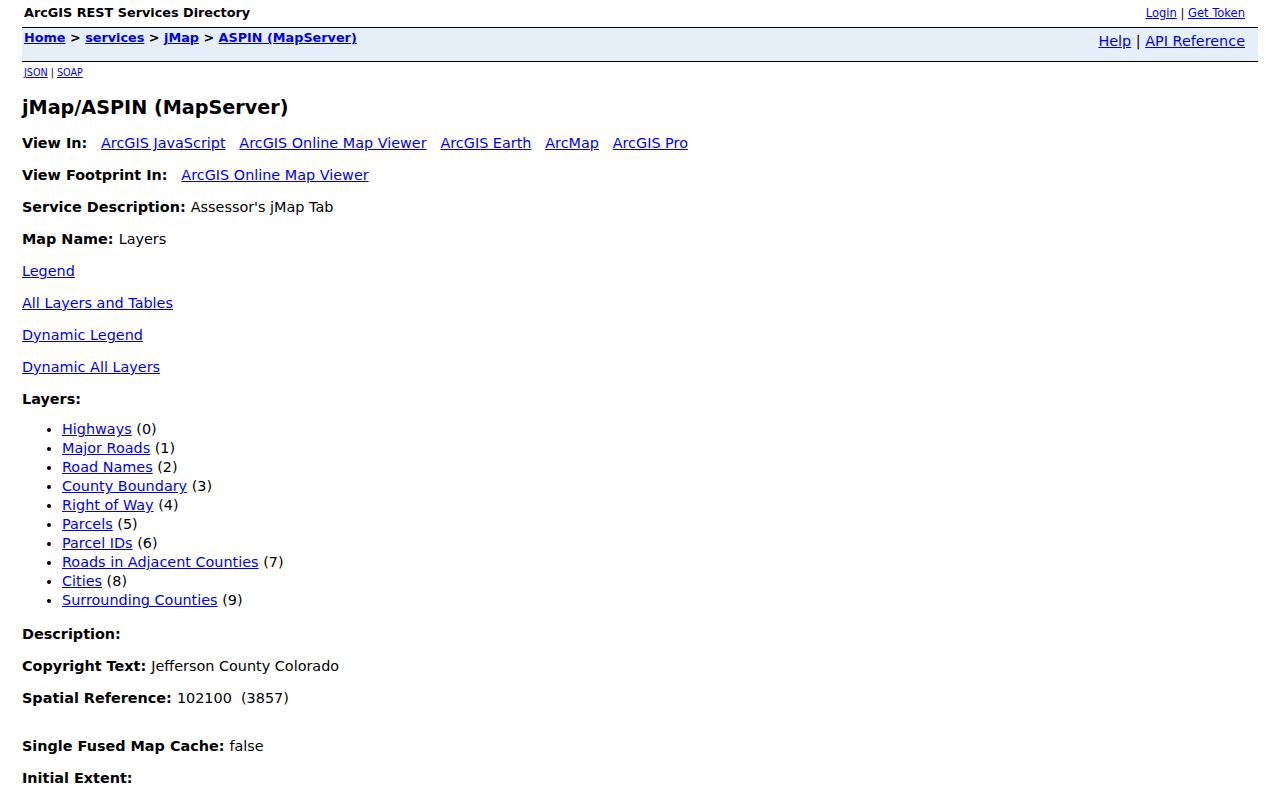
Keep the layer name and access date in the worksheet. A ZIP polygon, tax layer, planning layer, and parcel layer can answer different location questions.
Address Records Along Westminster Streets
The street directory becomes useful when each record set keeps its own meaning. A property roll is not a voter roll. A permit applicant is not necessarily the property owner. A directory line is a time slice. The table below keeps those differences visible.
| Address layer | Keeper | What it shows | Access path |
|---|---|---|---|
| Assessor property roll | Adams or Jefferson assessor | Parcel, owner, situs, mailing, value, legal fields | Free county portal |
| GIS parcel map | County GIS | Geometry, adjacent parcels, roads, tax and planning layers | Free viewer or REST layer |
| Recorder index | County recording office | Grantors, grantees, document type, date, reception, legal | Index; copy route if needed |
| City permits | Westminster departments | Project, address or APN, status, dates, inspections, files | eTRAKiT or specific request |
| Voter request | County clerk or Colorado SOS | Public name, residential address, party, birth year, voting-status fields | Self-service or lawful request |
| Historical directory | Library, archive, or society | Past name and address snapshots where a volume is held | Collection inquiry or in-person access |
Use the parcel number to tie the assessor, map, recorder, and permit rows. Use the street form to find a likely voter or directory clue. If the sources disagree, preserve the disagreement and date instead of forcing a single answer.
Westminster Permit Records by Address
Westminster eTRAKiT offers public no-login viewing for permits and projects. Search uses a selected field, a comparison control, and a value. Address searches may accept a partial number. Project searches generally use a parcel or APN. Result tabs can expose the project number, address, parcel, permit type, status, dates, inspections, and attached documents when the public view makes them available.
Permit history is useful for an address timeline. A roof, remodel, addition, solar, deck, fence, garage, pool, or shed record can explain a changed unit or physical description. It does not identify every person at the property. If an older permit is not online, use a narrow CORA request to the city building, planning, engineering, or community standards custodian.
Record the code context with the date. Westminster’s current material places contractor-registration conditions in May 2026 and 2026 NEC compliance in August 2026. A future researcher can then compare a permit’s code era without treating old and new fields as the same system.
Westminster Street Repetition Without Guessing
A full street pass begins with a parcel list, not a list of names. For each polygon, keep the supplied address, normalized situs, USPS city and ZIP, city-limit result, county, parcel or AIN/PIN, legal description, recorded owner, owner mailing address, latest instrument, permit evidence, and historical clue.
On a long street, record the query mode and result count for each county. Adams searches can note Party Type, match mode, document category, and date range. Jefferson searches can note the structured address fields, page size, export, and property detail route. This makes a later correction possible when an address has multiple units or a changed street label.
The street directory should distinguish “recorded owner found” from “household clue found.” Those phrases answer different questions. A common surname can appear in both counties, and an entity name may not identify the people connected with it.
Access is multi-channel: use county portals and GIS online; call or visit assessor and recording counters for identifier help and copies; use mail or email for specific or certified requests; check eTRAKiT before making a city CORA request; and use the library, Archive Center, or Historical Society for older directories and newspapers.
Westminster Postal and Situs Address
USPS is useful for postal normalization. Its address mode asks for street, optional unit, city, state, and ZIP, while its city/state and ZIP/city modes return recognized mailing relationships. USPS corrections can take 30 to 60 days. A returned postal city is not proof of municipal limits, title, occupancy, or voter eligibility.
Westminster’s ten ZIP codes overlap other municipalities. A station outside the city can serve a ZIP polygon that intersects Westminster. Compare the USPS result with the city ZIP layer, the county boundary, and the assessor parcel. For tax jurisdiction questions, use the city’s certified-address guidance. For land questions, use the parcel and legal description.
When an old directory uses a rural route, neighborhood name, or earlier street number, keep that printed form. Search the surname, cross street, subdivision, newspaper, and legal description instead of assuming the modern street string will work.
Westminster Voter Address Limits
Colorado allows selected voter fields to be furnished by request, but it does not make the voter file a live list of every person at a street address. Public fields can include name, residential address, party affiliation and date, optional phone, optional gender identity, birth year, and prior-election voting status. The full birth date, signature, email, SSN, and driver ID are confidential.
Use Go Vote for a person checking their own registration, or use the county and Secretary of State request route for public data. ACP and county confidentiality treatment can remove an address from ordinary release. A no-result may reflect a date, county, privacy status, or request limit.
That rule keeps the street directory honest. A property row, voter row, and directory line may overlap, but each needs its own source date and explanation.
What the Westminster Street Directory Cannot Show
Public property and deed records can show owners and parties to instruments. They do not list every household member or confirm who is present today. DMV records are protected under the federal Driver’s Privacy Protection Act and Colorado law. Utility, delivery, and private association records are not an open street roster. Court, jail, warrant, and registry sources have their own narrow scopes and disclaimers.
When a street question reaches a protected record, stop at the lawful access boundary. Use a specific request for a specific record, and verify any result with the custodian. The address trail is for personal records research, family history, civic curiosity, and safety awareness.
Lawful use. Westminster address records may be useful for lawful personal research, but using a public address, voter field, or directory clue to stalk, harass, threaten, monitor, or intimidate another person is not acceptable.