
The Ten ZIP Codes in Westminster’s City Layer
The city’s current ZIP map service returns ten distinct ZIP values. The list is useful because it comes from a municipal layer rather than a copied postal list. It still needs a parcel check for an exact address. ZIP polygons can cross a city boundary, and a post office feature can sit outside the city while serving part of the ZIP.
| ZIP | Westminster area clue | Post-office or boundary note | Search use |
|---|---|---|---|
| 80030 | Central and Historic Westminster | Harris Park station evidence inside city | Central postal starting point |
| 80031 | Central and northern Westminster | Westminster station evidence inside city | Address normalization |
| 80020 | Northern and northwest shared area | Broomfield station outside city | Check parcel and county |
| 80021 | West and northwest shared area | Eagle View station in Broomfield | Postal clue only |
| 80023 | Northern edge or shared territory | Exact neighborhood boundary not located | Use full address |
| 80003 / 80005 | Southwest and west shared edge | Arvada postal context may appear | Route to Jefferson if parcel says so |
| 80221 / 80234 / 80260 | East, southeast, or adjacent postal areas | Denver or Northglenn station context may appear | Do not infer city status |
The ten-code list is the core of the Westminster ZIP code directory. It is a boundary aid, not a ZIP-only resident index.
Westminster ZIP Code Boundaries and City Limits
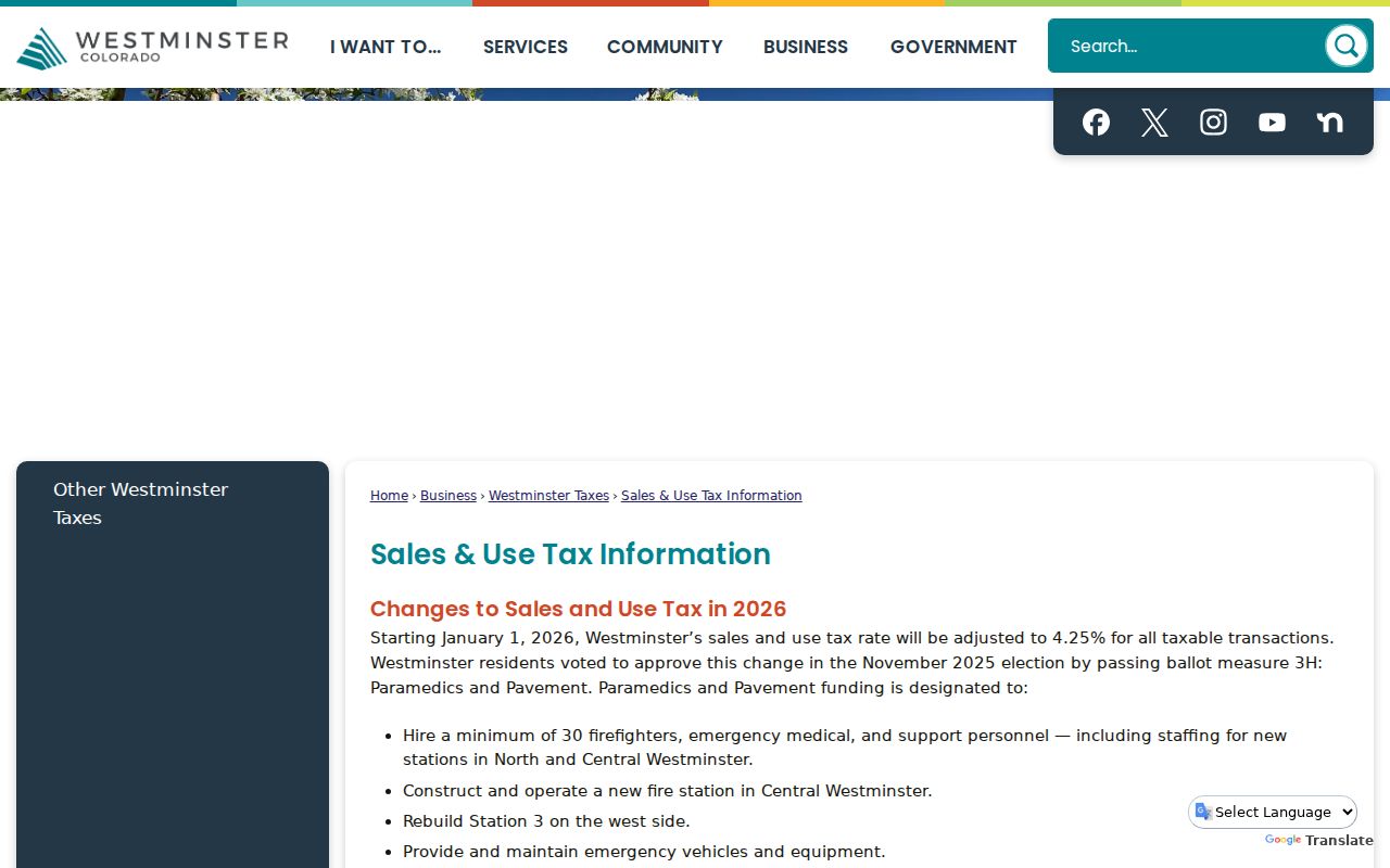
Westminster’s sales and use tax guidance says the city has ten ZIP codes and that eight are shared with other municipalities. That means a postal city, a ZIP polygon, a city-limit polygon, and a county parcel can disagree without any record being wrong.
The official Westminster sales and use tax page is the source for the mismatch. For a legal tax address, follow the certified-address guidance. For a land question, follow the parcel geometry and legal description. For a people question, use ZIP only as one disambiguation field.
The sales and boundary capture below comes from the Westminster city ZIP guidance and shows why a ZIP code directory needs a municipal caveat. It is a city source about postal geography, not a list of residents.
Keep city, county, postal city, and ZIP in separate worksheet columns. That simple habit prevents a shared code from sending a search to the wrong office.
Westminster ZIP Code Post Offices
The city ZIP REST service has separate Post Offices and ZIP Codes layers. Its post-office attributes include name, address, city, ZIP, and an IN_CITY field. A feature with IN_CITY set to No can still appear beside a ZIP polygon that touches Westminster.
Examples in the research include a Broomfield station serving 80020 or 80021, an Arvada station associated with 80003, a Denver station near 80221, and a Northglenn no-services feature near 80234. Those station locations explain the postal geography, but they do not decide where a parcel sits.
When the postal city looks surprising, do not correct it by hand. Use the recognized USPS result, then compare the city ZIP layer and the county property system. A strange postal result is a signal to check, not an error to erase.
Westminster ZIP Code USPS Modes
USPS offers three useful lookup modes. By Address asks for company if needed, street address, optional apartment or suite, city, state, urbanization code, and optional ZIP. By City and State asks for city and state. Cities by ZIP Code asks for the ZIP and returns recognized or recommended postal city names.
| By Address | Street address, optional apartment or suite, city, state, and optional ZIP; company and urbanization may apply. |
|---|---|
| By City and State | City and state; use the returned postal relationship as a mailing clue, not a parcel boundary. |
| Cities by ZIP Code | ZIP code; returns recognized or recommended postal city names for the code. |
| Correction timing | USPS says address corrections can take 30 to 60 days, so preserve the lookup date. |
Enter the full street and unit first. Use the returned city and ZIP as a postal normalization result. USPS says corrections can take 30 to 60 days, so a current postal answer can change. The result does not confirm a person or business at the address, title, city limits, or voter status.
For historical research, keep the printed address from a directory or newspaper beside the current USPS form. A changed street number, rural route, or postal city can be the reason a literal search fails.
Westminster ZIP Code Resident Filter
A ZIP code is a useful name-disambiguation filter when combined with county and date. It can separate two people with the same name, help choose a newspaper search, or narrow a directory request. It cannot replace a street, parcel, legal description, or record identifier.
For a current person question, run the name with the likely county and ZIP, then test address and owner fields. For a historical person, pair the old ZIP or mailing city with the directory year, newspaper title, school, church, or subdivision. A former ZIP can help with Great Colorado Payback, but a Treasury match is only a claim lead.
Keep a note when the ZIP pulls adjacent postal cities. That note explains why a record was considered and why it was not treated as a Westminster result.
Westminster ZIP Code and County Assessor
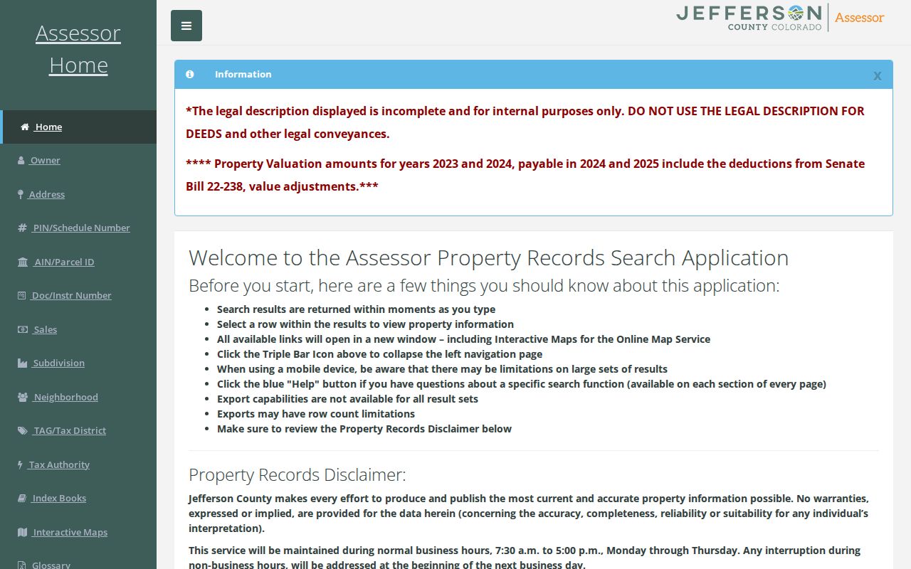
Once a ZIP narrows the area, switch to the assessor. Adams accepts address, owner, parcel, account, and permit-number searches. Jefferson’s dashboard separates owner, address, PIN/Schedule, AIN/Parcel ID, document, sales, subdivision, neighborhood, tax district, tax authority, and index-book routes. The parcel or AIN/PIN is the stable bridge from a postal clue to land.
The Jefferson property dashboard capture below is linked to the county’s property records search. Its owner, address, parcel, sales, and related modes show why ZIP is only an entry point.
Compare the property address, mailing address, city, postal code, parcel ID, and legal description. Owner and mailing fields are not a live household list.
Westminster’s ZIP Map Service
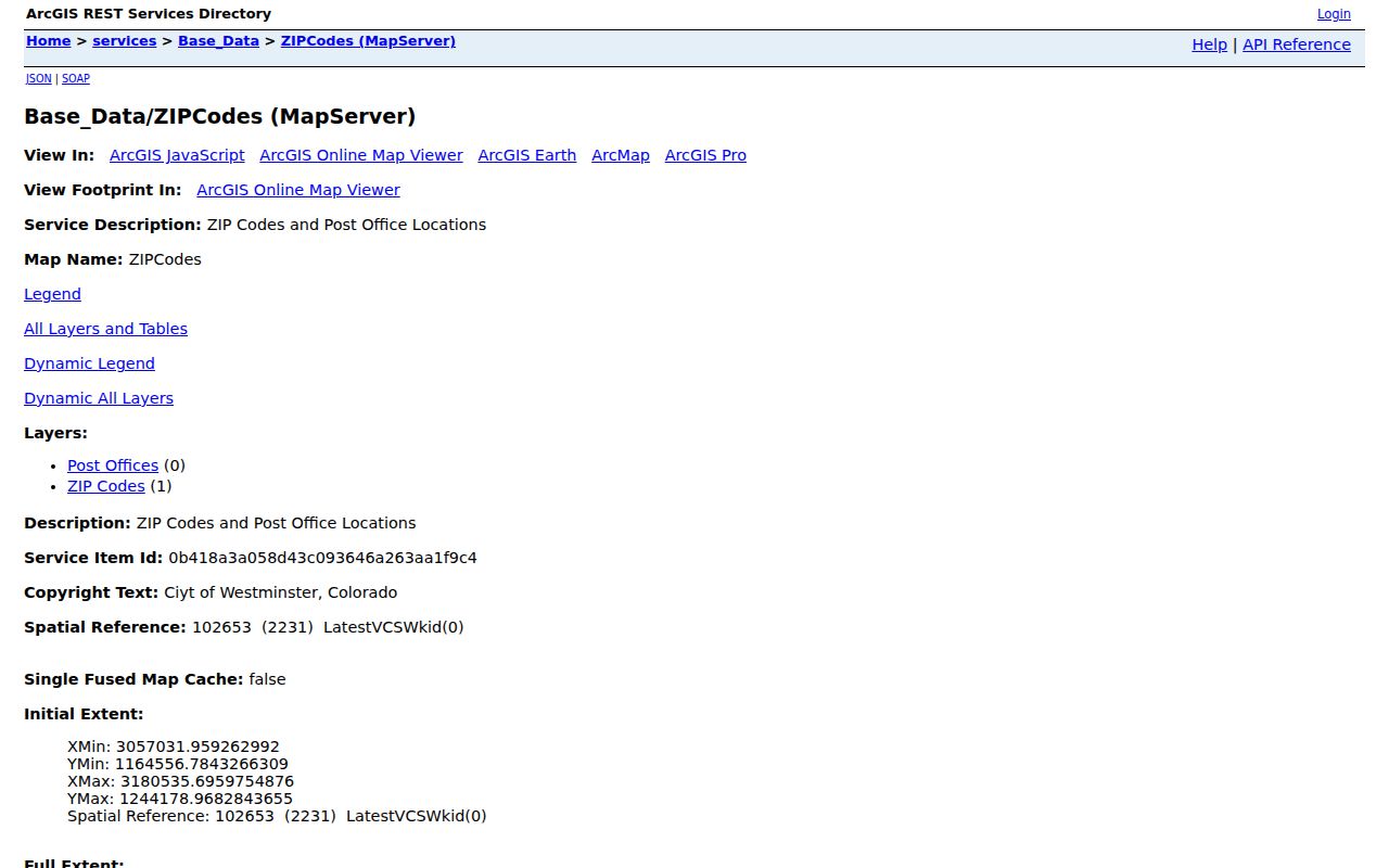
The Westminster ZIP map service is an ArcGIS REST service with a ZIP Codes layer and a Post Offices layer. A query can request fields, suppress geometry, or return geometry for a feature. The captured query returned the ten ZIP values and the post-office fields used for the city comparison.
The map image below is linked to the Westminster ZIP map service. Use the layer name, query date, ZIP value, and IN_CITY field in a research note. A feature’s geometry can show an intersection, but a point at a post office is not a boundary line.
When a ZIP-only result touches another municipality, pass the address to the county parcel map before making a resident lookup claim.
Westminster ZIP Code Voter Fields
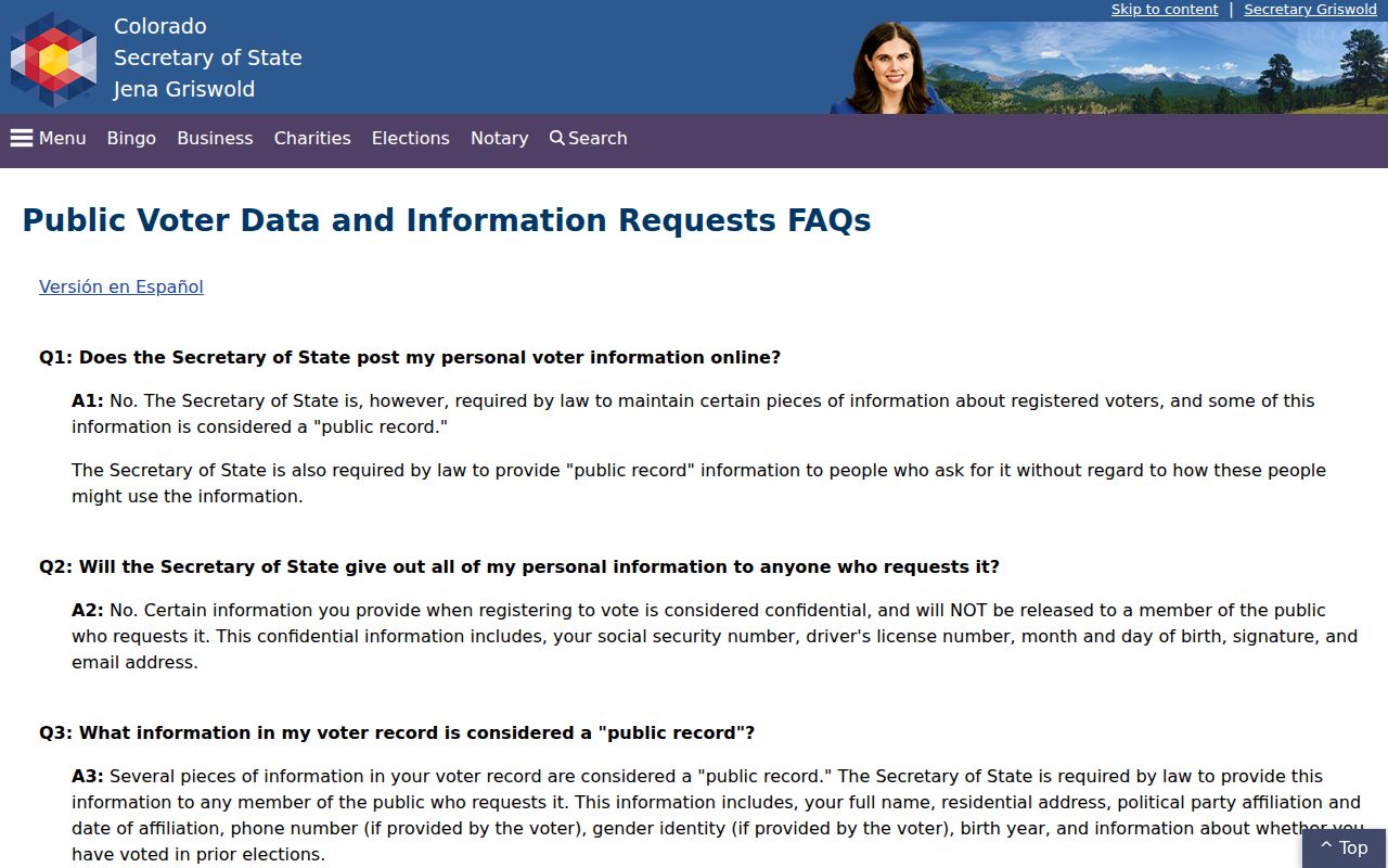
Colorado voter records can include residential address, name, party affiliation and date, optional phone, optional gender identity, birth year, and prior-election voting status when furnished under the request rules. Month and day of birth, signature, email, SSN, and driver ID remain confidential. ZIP can help route a request, but it does not change those rules.
The voter-data image below is linked to the official Colorado voter registration data guidance. It belongs in the ZIP workflow as a limit: public fields are record fields, not a complete list of people in a postal area.
Use Go Vote for an individual’s self-check and the county or Secretary of State form for a public data request. Keep election date, county, dataset, and confidentiality status beside the result.
Westminster ZIP Code Historical Directories
A historical city directory may use an older mailing convention, neighborhood name, or no ZIP at all. The verified Bresser run covers 1965-1975 and the verified Coles run covers 1980-2010, but no open readable entry scan was found. A ZIP should be treated as a time-specific clue when a volume is obtained.
Search the printed street and surname first. Then compare the directory page with the current parcel, recorder legal description, newspaper date, and any permit timeline. The old form can survive after a renumbering or annexation, while a modern ZIP can pull a different postal city.
The Westminster city directory collections keep the historical shelf and entry-reading method. ZIP is a supporting filter, not the historical record itself.
The Westminster ZIP Boundary Recipe
Use a fixed order when a ZIP result may cross the city line. The sequence keeps postal, municipal, and property facts from being mixed.
- Run USPS By Address with the full street and unit, and save the recognized city and ZIP.
- Compare that answer with the Westminster ZIP map and the city-limit or county-boundary map.
- Choose Adams or Jefferson from the parcel and Sheridan routing rule.
- Search the county assessor by address, owner, parcel, account, AIN, or PIN.
- Use the parcel and legal description for a recorder or street-level follow-up.
- ZIP code
- A postal delivery area that can cross city or county boundaries.
- ZIP+4
- An extended postal code used for more precise delivery, not a land parcel.
- PO-box ZIP
- A postal routing code that can serve boxes without describing a residential parcel.
- Unique ZIP
- A code assigned to a specific organization or facility, not a normal neighborhood roster.
ZIP is not a boundary. Keep the USPS answer, city-map result, county, parcel, and source date together. A shared postal code cannot establish Westminster city status or current occupancy.
For street-by-street records after the boundary check, use the Westminster street directory. The ZIP code directory should hand off the narrowed address rather than rebuild the parcel chain.
What the Westminster ZIP Code Directory Cannot Prove
ZIP cannot prove a person’s current location, property title, voter eligibility, municipal incorporation, or presence at a parcel. A shared code can include several cities. A post office can sit outside Westminster. An old directory may print a different postal form. A no-result may reflect a ZIP mismatch rather than a missing person.
Carry the ZIP as one field in a larger record note. The most useful Westminster result preserves the address, county, parcel, source date, and reason the ZIP was used.
Use USPS and city map services online, then call or visit the assessor or recorder when a ZIP search needs parcel help. Mail and copy requests remain available for official documents, while a narrow CORA request can address missing city records. Library, Archive Center, and newspaper routes are the fallback for older postal forms and historical directories.